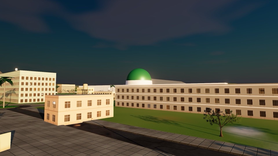
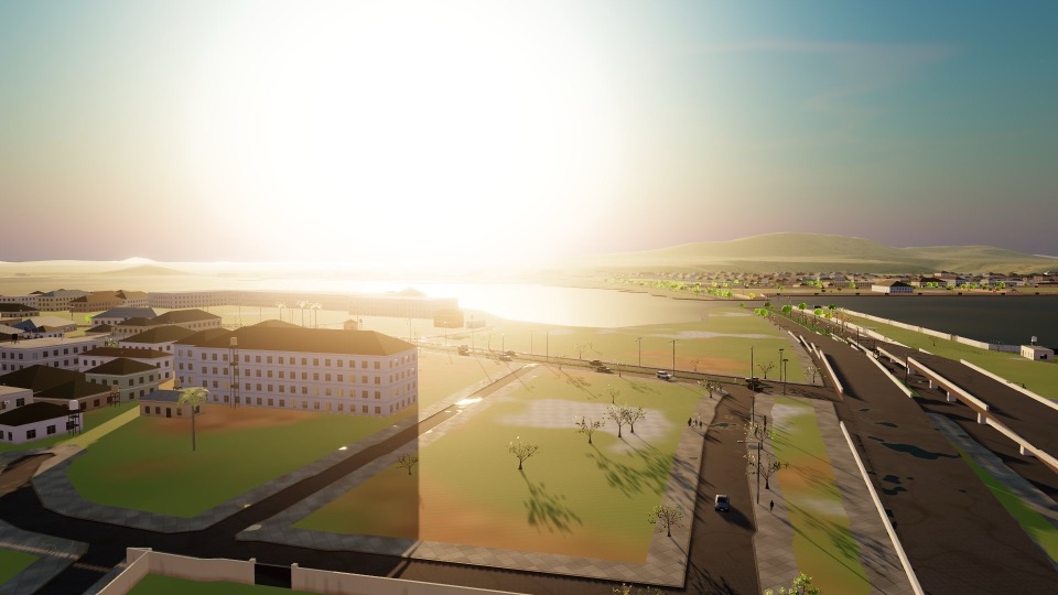
Search like a map app
Type a place, a street, a district or just “pharmacy”. Suggestions appear as you type, nearest first, typos forgiven.
 Abuja Tour
Explore
Federal Capital Territory, Nigeria
Nigeria's capital at true 1:1 scale, in your browser. Find any place, get directions, then walk, drive an FCT green taxi, cycle or fly there, from Jabi Lake to Aso Rock.
Start somewhere iconic
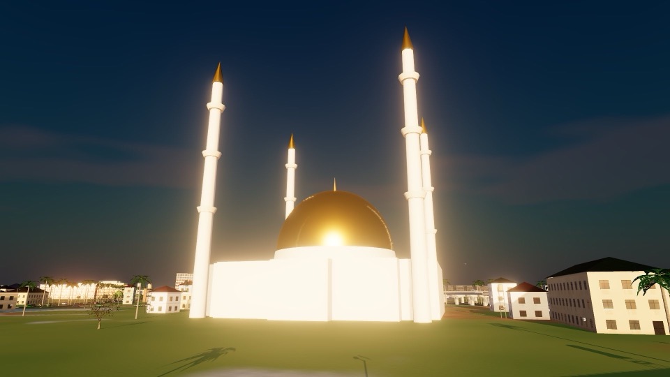
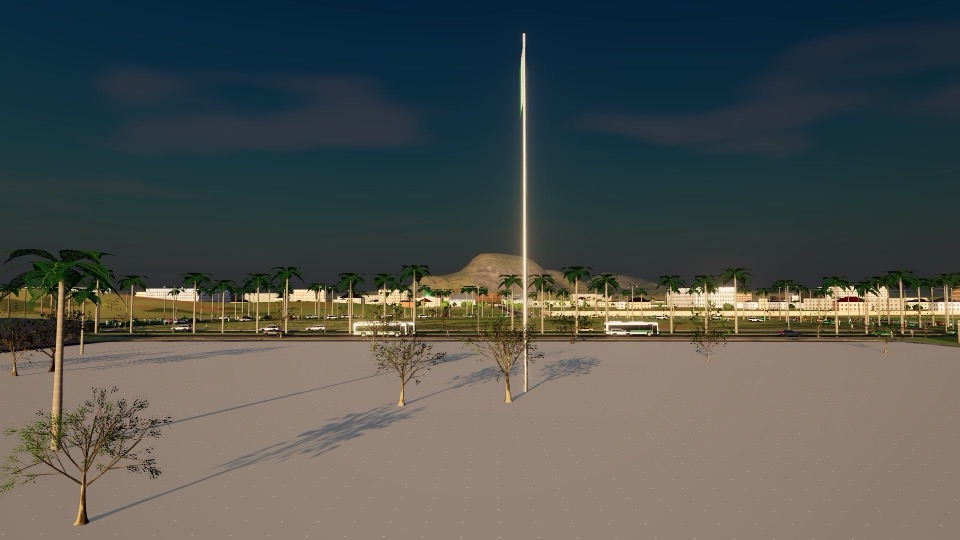
Pick a sight and you arrive on the street in front of it, facing it. Everything around it is there too: the roads, the traffic, the people.
A map you can step into
Type a place, a street, a district or just “pharmacy”. Suggestions appear as you type, nearest first, typos forgiven.
From where you stand, or from anywhere, to anywhere. By car (one-way streets obeyed), on foot or by bicycle, with every turn spelled out.
Follow the blue line on the road with live turn-by-turn guidance, or switch on Tour Drive and the guide takes you there, stopping at red lights.
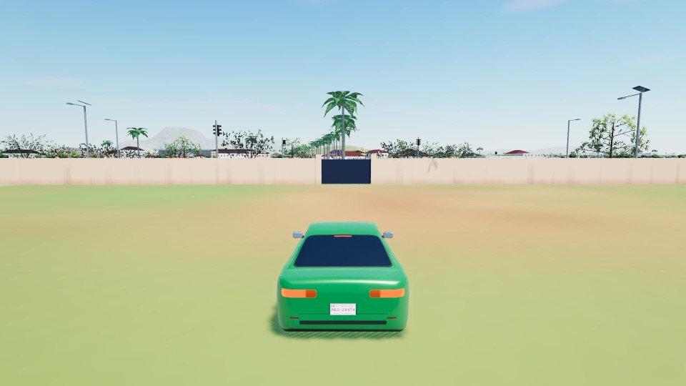
Built from open data
Every road in OpenStreetMap across the city, with its lanes, direction and the interchanges' decks and ramps.
Each footprint where it stands; named places carry a name board. Most heights are estimates: the map rarely records them.
Traffic lights where they are mapped, and the official district boundaries, from Garki to Maitama.
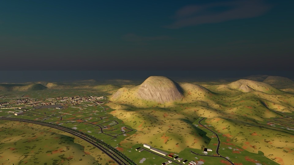
The hills from SRTM elevation data, Aso Rock's summit at its surveyed 936 m, and the sun where it is today.
Runs in your browser with WebGPU: a recent Chrome or Edge on a laptop or desktop works best.
Explore AbujaYour browser doesn't seem to support WebGPU yet. Try the latest Chrome or Edge.